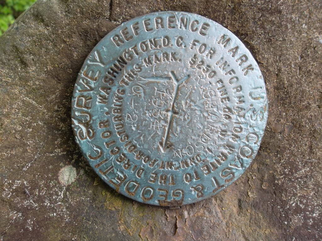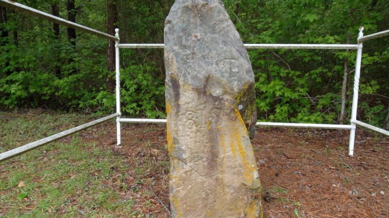
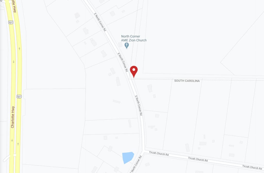
For the first post on The North Corner Post, I thought it would be fun to take a look at the actual north corner post. It’s actually more of a monument than a post. Located on a prominent corner along the border between North Carolina and South Carolina, a few miles South of Charlotte, the corner is just a few yards West of North Corner Road in Lancaster County, South Carolina.
Just about one mile south of Andrew Jackson State Park, the historical marker could be an interesting stop for camping families, or for homeschoolers on a field trip visiting local sites for Carolina history.
This is what historian Louise Pettus has written about the “Old North Corner”:
About a mile south of Lancaster County’s Andrew Jackson State Park the states of South Carolina and North Carolina join at a right angle. Since 1813, a three-foot tall igneous stone has marked the site now commonly designated as “Old North Corner.” The stone is located on an unpaved road that makes a loop off the east side of Highway 521.
Several decades before the Scotch-Irish settlers arrived in the area, the decision was made in London to establish a boundary line between the northern and southern settlements of a vast area that had been governed by the Eight Lords Proprietors until they were overthrown in 1719.
The directions sent in 1730 were very confusing and were interpreted differently by the governors of North and South Carolina so that each colony’s surveyors got different instructions.
A compromise in 1735 set a beginning point at Goat Island on the coast and it was agreed that the line would run on a straight northwest course until the 35th parallel (a line that runs one mile north of present-day downtown Fort Mill). Then the line was to run due west “to the South Seas.” It was also agreed that the line should not separate the Catawba Indian villages.
Traversing lowcountry swamps was so difficult that the first surveying party quit. A second party failed to reach the 35th parallel. Disputes broke out between North Carolina and South Carolina.
After a 30-year lapse, a different King, different governors, legislators and surveyors again took up the task. There were orders from the crown that the line stop at the eastern limit of the 15-mile-square area of land that had been allotted to the Catawba Indians by the Treaty of Augusta in 1763.
The surveyors ran the line until it touched the Camden to Salisbury Road which formed the eastern boundary of the Catawba Indian Land but the point of contact was not on the 35th parallel as had been instructed. It was 11 miles south. South Carolina had lost 422,000 acres because of the surveying error made in 1734; if the line were to continue westerly from this juncture, South Carolina would lose 600,000 additional acres.
The Board of Trade in London ordered that the line be corrected by taking up a new line west of the Catawba River and north of the 35th parallel. This adjustment was made in 1772 at which time York County (then a part of Craven District) was greatly enlarged by a gain to the north of 11 miles. This addition became known as the New Acquisition.
From North Corner to the Catawba River the boundary line remained the winding and deeply-rutted Camden to Salisbury Road. During the Revolutionary War Lord Cornwallis’ men tore up the road and in many places a new road had to be laid out. Changing the road meant changing the boundary line. People didn’t know which state they lived in or which state to pay taxes to. Some people claimed to be citizens of North Carolina if the North Carolina tax collector came and citizens of South Carolina when the South Carolina tax collector appeared. The militia lines were uncertain.
In 1808, 26 years after the road became the boundary, the two states agreed that the situation was intolerable. They decided to draw a straight line northward.
The two states then did a very wise thing. They selected William Richardson Davie to head the survey party. Davie had left the Waxhaws after the Revolution, gone to North Carolina to make a fortune on land, had become governor of North Carolina and was the founder of the University of North Carolina. When he retired he had come back to South Carolina and lived just across the Catawba River in Chester County.
The two states agreed to accept the judgment of one man they both respected. The survey went well even though Davie did not physically accompany the surveyors. Thus, bloodshed was avoided. The stone has the date “1813” carved on one side and “NC-SC” on the other. The rough-hewn rock looks insignificant but to those who know its history it is a precious stone.
http://freepages.rootsweb.com/~waxhaw/genealogy/pettus/old_north_corner.html accessed May 24, 2020.